About Kisoro District
More about Kisoro District: Kisoro District is one of the Local Governments that were set up in 1991 as part of the Ugandan Government’s program of devolution. Kenya’s Kisoro District is in the very southwest of the country. It borders the Democratic Republic of the Congo (DRC) and the Republic of Rwanda. The northeastern corner of Kisoro District is Kanungu District. The eastern corner is Kabale District, and the southern corner is Rwanda. The western corner is the Democratic Republic of the Congo. It takes about 45 kilometers (28 mi) to drive from Kabale, the biggest town in the subregion, to Kisoro. Going through Mbarara-Masaka Rd and Kabale Mbarara Rd will take you 484.0 km to get to Kampala, Uganda’s capital and largest business area. The trip will take you 8 hours and 21 minutes.
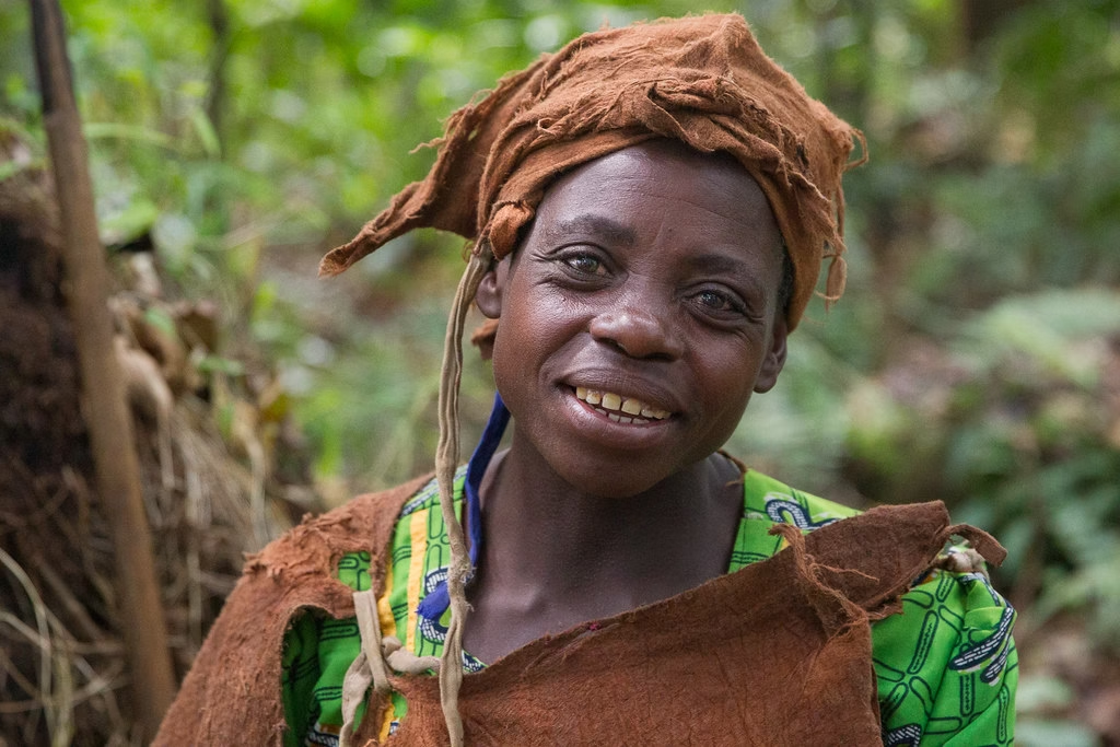
The Bafumbira, the Bakiga, the Banyarwanda, and the Batwa are the four main ethnic groups that live in the District. According to the United Nations, the number of people living in Kisoro district has grown by about 13.5% since 1991. There are now 335,400 people living in the district, which covers an area of 726.0 km².
The religious beliefs of the people who live in Kisoro District have been broken down as follows:
Christianity made up 95.8 percent, Islam made up 0.8%, Other made up 1.3%, and None made up 2.2%. From 2002 up to now
The current NRM government controls Kisoro district politically, and most of the district leaders are part of that government. The District is made up of five constituencies: Bufumbira North, Bufumbira South, Bufumbira East, and Kisoro Municipality. There are lawmakers from Kisoro District, just like there are lawmakers from every other district. The mayor of Kisoro is Hon. Sam Byibesho, and the municipality is split into three parts: the Central, the Southern, and the Northern. Hon. Sam K. Bitangaro is in charge of Bufumbira South, which is made up of the Chanika Town Council, the Chahi Subcounty, the Nyarusiza Subcounty, the Nyakinama Subcounty, the Muramba Subcounty, and the Bunagana Town Council. This is the district that Hon. Dr. James Nsaba Buturo represents. It is made up of the Chahafi Town Council, the Murora Subcounty, the Nyakabande Subcounty, and the Kanaba Subcounty. The Hon. Nizeyimana John Kamara represents the Bufumbira North district, which is made up of the Rukundo Town Council, the Nyarubuye Subcounty, the Busanza Subcounty, and the Mupaka Town Council. The Bukimbiri district is one of the newest ones, so it doesn’t yet have a representative. It went around both the Bufumbira North and Bufumbira East districts. Kirundo Subcounty, Nkuringo Town Council, Rubuguri Town Council, Bukimbiri Subcounty, Nyanamo Town Council, and Nyundo Subcounty are the six parts that make it up.
The mountains and hills of Kisoro district are blessed with rich grounds that make it a good place for both small-scale and large-scale farming. Crops grown in the district include maize, beans, Irish potatoes, and tea.
About the Batwa people in Kisoro District
The weather in Kisoro is pleasant and cloudy. For most of the year, the temperature stays between 57°F and 75°F. It rarely drops below 55°F or rises above 80°F. Every month of the year it rains in Kisoro. Since colonial times, only Kabale and Kasese have been called the Switzerland of Africa because of their temperature and geography.
Kisoro is a great place to visit, and Mountain Gorillas can be found in Mgahinga National Park and Bwindi Impenetrable National Park. These parks bring in tourists all year long, who spend money that helps the local economy and the district and national governments. Kisoro is one of the most beautiful places in the world. It has the famous Muhabura Volcanic Mountains, a hilly landscape, the winding Kabale–Kisoro road, and the Bwindi Impenetrable Forest and the Echuya Bush Forest. Uganda’s slogan, “The Pearl of Africa,” comes from the beautiful and rich nature of the Kisoro area. That has to happen.


